Geological, Geographical & Survey Instruments
Plane Table Survey Set
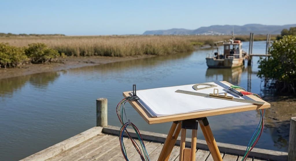
Traditional plane table set for direct field plotting and topographic mapping.
Authorised distributor
Calibration & training included
24-hour service response
Geological, Geographical & Survey Instruments
Overview
A complete field-plotting system for simultaneous observation and map preparation — board, tripod, alidade, plumbing fork, spirit level, trough compass and accessories. Ideal for surveying education, training centres and preliminary land surveys.
Where it's used
Survey education
Topographic mapping
Field plotting
How ordering works
- 01Send your enquiry
Message us on WhatsApp or request a quote with your requirement.
- 02Get a quote
We reply with price and delivery time within one working day.
- 03Delivery & setup
We deliver across India, install on site and train your team.
Related instruments